Remaining gaps in open source software for Big Spatial Data
- Published
- Accepted
- Subject Areas
- Spatial and Geographic Information Science
- Keywords
- Equal-area map projection, Goode projection, Bogg projection, Hammer projection, Sinusoidal projection, Snyder Icosahedral projection, Big Spatial Data, Raster
- Copyright
- © 2018 de Sousa
- Licence
- This is an open access article distributed under the terms of the Creative Commons Attribution License, which permits unrestricted use, distribution, reproduction and adaptation in any medium and for any purpose provided that it is properly attributed. For attribution, the original author(s), title, publication source (PeerJ Preprints) and either DOI or URL of the article must be cited.
- Cite this article
- 2018. Remaining gaps in open source software for Big Spatial Data. PeerJ Preprints 6:e27215v2 https://doi.org/10.7287/peerj.preprints.27215v2
Abstract
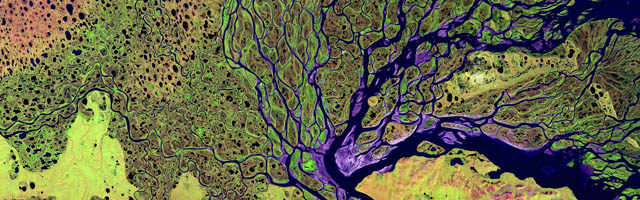
The volume and coverage of spatial data has increased dramatically in recent years, with Earth observation programmes producing dozens of GB of data on a daily basis. The term Big Spatial Data is now applied to data sets that impose real challenges to researchers and practitioners alike. As rule, these data are provided in highly irregular geodesic grids, defined along equal intervals of latitude and longitude, a vastly inefficient and burdensome topology. Compounding the problem, users of such data end up taking geodesic coordinates in these grids as a Cartesian system, implicitly applying Marinus of Tyre's projection.
A first approach towards the compactness of global geo-spatial data is to work in a Cartesian system produced by an equal-area projection. There are a good number to choose from, but those supported by common GIS software invariably relate to the sinusoidal or pseudo-cylindrical families, that impose important distortions of shape and distance. The land masses of Antarctica, Alaska, Canada, Greenland and Russia are particularly distorted with such projections. A more effective approach is to store and work with data in modern cartographic projections, in particular those defined with the Platonic and Archimedean solids. In spite of various attempts at open source software supporting these projections, in practice they remain today largely out of reach to GIS practitioners. This communication reviews persisting difficulties in working with global big spatial data, current strategies to address such difficulties, the compromises they impose and the remaining gaps in open source software.
Author Comment
This version includes various improvements to the text; the main contents remain the same.