Fin Whale Sound Production Recorded at SanctSound Site SB01_06
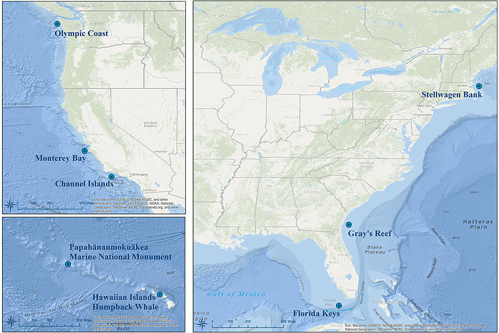 Monitoring locations for the SanctSound project. Credit: NOAA
This record represents fin whale sound production detected from raw passive acoustic
data. The Low Frequency Detection and Classification System (LFDCS) call library for
fin whale 20-Hz pulses was built for the data sampled at 120 Hz. All fin whale detections
with a Mahalanobis distance of 3.0 or less were manually verified for true detections.
A logistic regression was applied to these results to facilitate reducing the size
of the dataset that ultimately needed to be manually verified for confident species
detection. This analysis revealed that a minimum number of 29 detections per time
window used (hour or day) need to be detected to ensure that a fin whale was truly
detected with a confidence of 90%. All days with at least 29 detections were manually
verified for daily presence of fin whale 20-Hz pulses. From days with 29 or more detections,
fin whales were considered present for that day if a true detection was found within
a regular inter-pulse interval pattern of at least three other 20-Hz pulses. These
data were recorded at SanctSound Site SB01_06 between October 05, 2019 and December
06, 2019.
- Cite as: NOAA Office of National Marine Sanctuaries and U.S Navy. 2021. Fin Whale Sound Production Recorded at SanctSound Site SB01_06, SanctSound Data Products. NOAA National Centers for Environmental Information. https://doi.org/10.25921/6xew-4t26. [access date].
- 10.25921/6xew-4t26
- NCEI Metadata ID: gov.noaa.ncei.pad:NOAA-Navy-SanctSound_SB01_06_finwhale_1d
gov.noaa.ncei.pad:NOAA-Navy-SanctSound_SB01_06_finwhale_1d
| Search Data |
|
| Download Data |
|
| Distribution Formats |
|
| Ordering Instructions | Contact NCEI for other distribution options and instructions. |
| Distributor | NOAA National Centers for Environmental Information ncei.info@noaa.gov |
| Dataset Point of Contact | NOAA National Centers for Environmental Information ncei.info@noaa.gov |
| Dataset Point of Contact | Carrie Wall NCEI Passive Acoustic Archive Lead NOAA National Centers for Environmental Information pad.info@noaa.gov |
| Coverage Description | Site SB01_06 |
| Time Period | 2019-10-05T16:00:00Z to 2019-12-06T14:30:00Z |
| Spatial Bounding Box Coordinates |
West:-70.5460133
East:-70.5460133
South:42.4369067
North:42.4369067
|
| Spatial Coverage Map | |
| General Documentation | |
| Associated Resources |
|
| Publication Dates |
|
| Edition | Final SanctSound Data Product |
| Dataset Progress Status | Complete - production of the data has been completed |
| Data Update Frequency | As needed |
| Purpose | These data are available to the public for a wide variety of uses including scientific research and analysis. |
| Dataset Citation |
|
| Cited Authors |
|
| Principal Investigators |
|
| Collaborators |
|
| Publishers |
|
| Acknowledgments |
|
| Theme keywords | Global Change Master Directory (GCMD) Science Keywords
|
| Data Center keywords | Global Change Master Directory (GCMD) Data Center Keywords
|
| Platform keywords | Global Change Master Directory (GCMD) Platform Keywords
|
| Instrument keywords | Global Change Master Directory (GCMD) Instrument Keywords
|
| Place keywords | Global Change Master Directory (GCMD) Location Keywords
|
| Project keywords | Global Change Master Directory (GCMD) Project Keywords
|
| Use Constraints |
|
| Access Constraints |
|
| Other Constraints | Cite as: NOAA Office of National Marine Sanctuaries and U.S Navy. 2021. Fin Whale Sound Production Recorded at SanctSound Site SB01_06, SanctSound Data Products. NOAA National Centers for Environmental Information. https://doi.org/10.25921/6xew-4t26. [access date]. |
| Fees |
|
| Processing Steps |
|
| Instrument |
|
| Platform |
|
Last Modified: 2023-06-15
For questions about the information on this page, please email:ncei.info@noaa.gov