Global Extreme Wind Radiometer Level 2 Dataset for SMOS WIND Project
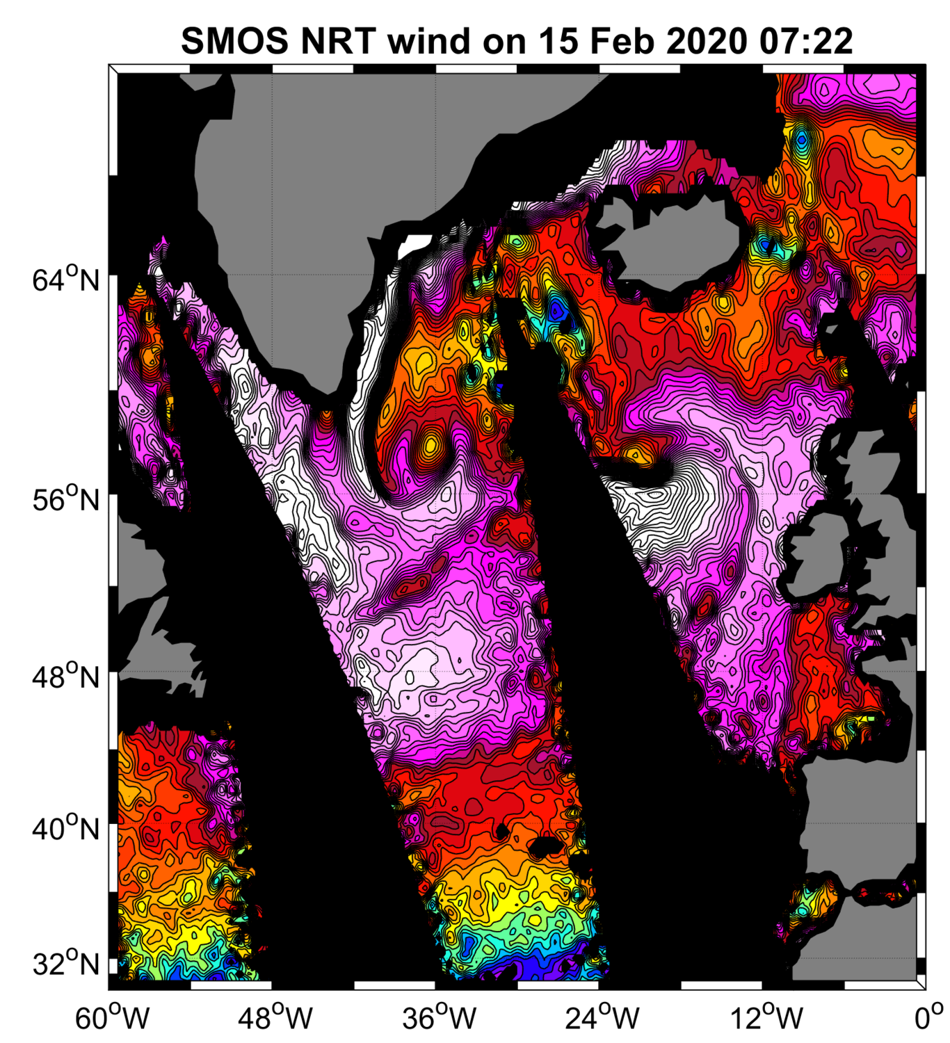
“SMOS Near Real Time Level 2 swath wind speed” (SMOS L2WS NRT) products, which are SMOS retrieved surface wind speed gridded maps with a spatial sampling of 1/4°x 1/4° and consisting of orbital segments (containing parts of ascending and descending half orbits) following the granularity of the SMOS Level 1B near real time (NRT) data products.
SMOS L2WS NRT products are available within 4 to 6 hours from sensing and are generated in NetCDF-4 format as described in the "SMOS Wind Data Service Product Description Document" ( http://www.smosstorm.org/Document-tools/SMOS-Wind-Data-Service-Documentation).
Publication date
2023-11-23
/Marine Environment Monitoring
/Ocean Winds/Surface Winds
Data access
Access policy
Unrestricted
Usage policy
CC-BY (Creative Commons - Attribution)
Format(s)
NetCDF 4
Citation
Near-Real Time Surface Wind Speed from SMOS satellite and ancillary data on a 0.25 degree resolution grid.
These data were obtained from the ESA-IFREMER-ODL SMOS Wind NRT Data Service project. Dataset accessed [YYYY-MM-DD]. DOI : 10.12770/aad9c726-fe1e-420a-bff2-a00526f9e920
ID: CER_L2_WND_GLO_025_SMOS_SMOSWIND
Project(s)
SMOS Storm
Product
Level
Niveau
L2
Acquisition pattern
Type d'acquisition
orbit
Compositing
Méthode de fusion
None
Latency
Latence
Historical
Observation source(s)
SMOS / MIRASTemporal
Temporal properties
Couverture temporelle
01-05-2018
Resolution
Résolution
P0Y0M0DT0H0M0S
Spatial
Geographic area
Zone géographique
Global
Resolution
Résolution
25 km
Projection
Projection
WGS 84 (EPSG:4326)
Bounding box
Limites géographiques
Latitude -90.00 to
90.00,
Longitude -180.00 to
180.00

Contact(s)
Help desk
cersat@ifremer.fr
Distributor
IFREMER/CERSAT > Satellite Data Processing and Distribution Center of the French Research Institute for Exploitation of the Sea
, ESA/ESRIN > European Space Agency, European Space Research Institute, Frascati Italy
Funder
ESA/ESRIN > European Space Agency, European Space Research Institute, Frascati Italy