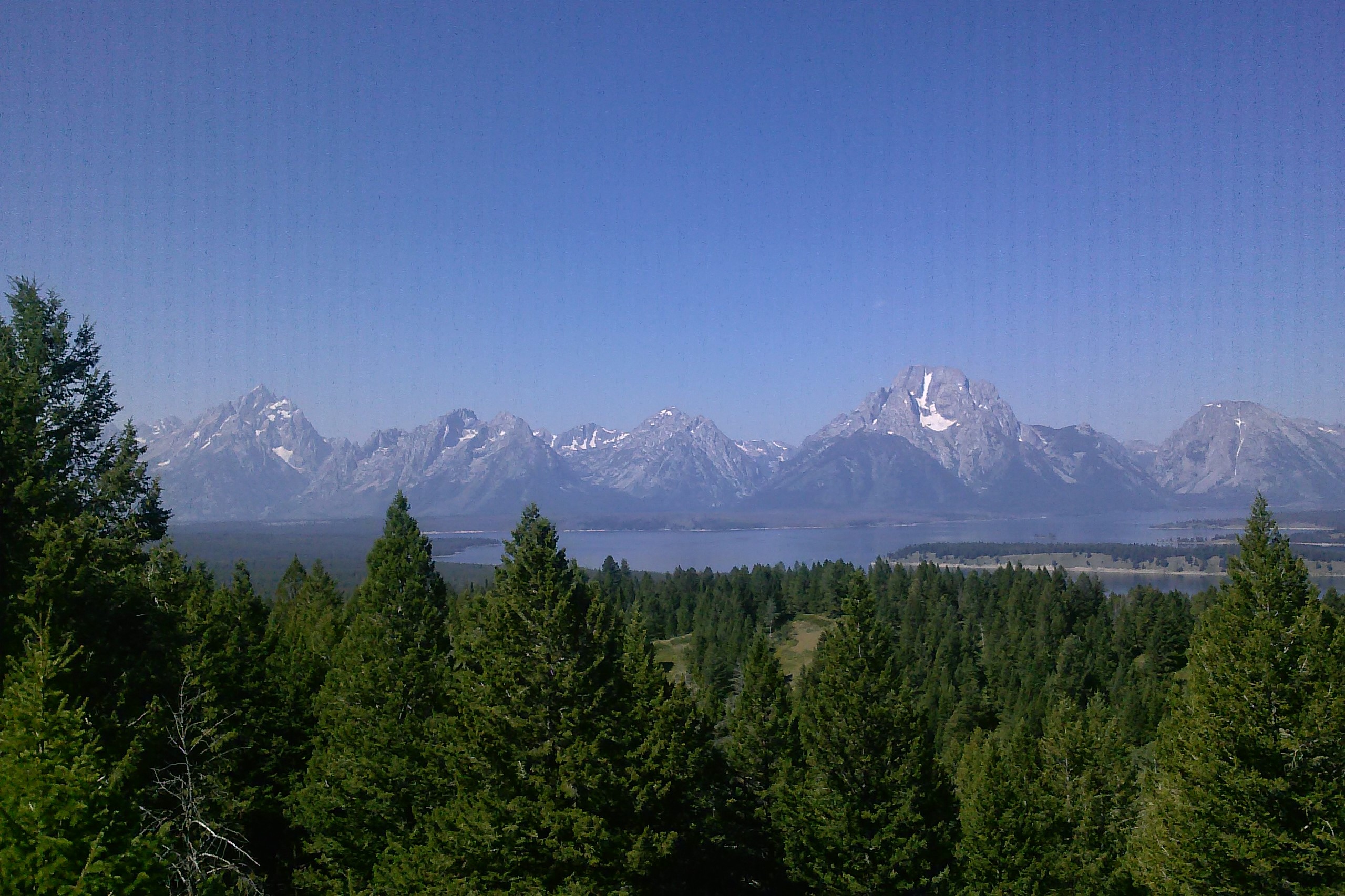
A LiDAR-based landslide inventory and associated map portal (story map) for Grand Teton National Park
Abstract
Funding has enabled the design and implementation of a preliminary landslide inventory including roughly 500 deposits throughout GTNP. The three most common mass movement deposits were related to debris flows, translational earth slides and translational rock slides. More than 10% of the features were field-verified during campaigns mapping along the Teton Fault and in areas across varying lithology and relief including Steamboat Mountain, Paintbrush Canyon, Cascade Canyon, Two Ocean Lake, Open Canyon and lower Granite Canyon. Features were mapped according to protocols established by the Oregon Department of Geology and Mineral Industries (DOGAMI) and supported by the USGS. The Story Map remains under development, awaiting revised mapping and feedback from GTNP staff.
Featured photo taken from the AMK Ranch photo collection. https://flic.kr/p/RdWTqz

