Sei Whale Sound Production Recorded at SanctSound Site GR01_01
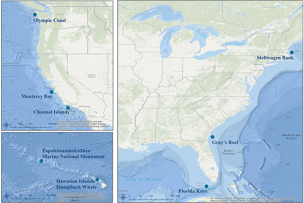 Monitoring locations for the SanctSound project. Credit: NOAA
This record represents sei whale sound production detected from raw passive acoustic
data. The Low Frequency Detection and Classification System (LFDCS) call library contains
the 82 ? 34 Hz sei whale downsweeps, which was the call type we focused on in this
study. All sei whale downsweep detections with a Mahalanobis distance of 3.0 or less
were manually screened for the daily presence of a doublet or triplet. Doublets and
triplets were defined as 2 or 3 repeated downsweeps, respectively, with roughly 3.5
seconds elapsed between the start of successive calls. Sei whales were considered
present if a true detection (at least one downsweep detected within a doublet or triplet)
was found for that day. Only the occurrence of the downsweeps as doublet or triplets
were selected to ensure confidence in species identification. These data were recorded
at SanctSound Site GR01_01 between December 13, 2018 and May 01, 2019.
- Cite as: NOAA Office of National Marine Sanctuaries and U.S Navy. 2021. Sei Whale Sound Production Recorded at SanctSound Site GR01_01, SanctSound Data Products. NOAA National Centers for Environmental Information. https://doi.org/10.25921/srk8-nv68. [access date].
- 10.25921/srk8-nv68
- NCEI Metadata ID: gov.noaa.ncei.pad:NOAA-Navy-SanctSound_GR01_01_seiwhale_1d
gov.noaa.ncei.pad:NOAA-Navy-SanctSound_GR01_01_seiwhale_1d
| Search Data |
|
| Download Data |
|
| Distribution Formats |
|
| Ordering Instructions | Contact NCEI for other distribution options and instructions. |
| Distributor | NOAA National Centers for Environmental Information ncei.info@noaa.gov |
| Dataset Point of Contact | NOAA National Centers for Environmental Information ncei.info@noaa.gov |
| Dataset Point of Contact | Carrie Wall NCEI Passive Acoustic Archive Lead NOAA National Centers for Environmental Information pad.info@noaa.gov |
| Coverage Description | Site GR01_01 |
| Time Period | 2018-12-13T21:00:00Z to 2019-05-01T10:00:00Z |
| Spatial Bounding Box Coordinates |
West:-80.8904
East:-80.8904
South:31.396417
North:31.396417
|
| Spatial Coverage Map | |
| General Documentation | |
| Associated Resources |
|
| Publication Dates |
|
| Edition | Final SanctSound Data Product |
| Dataset Progress Status | Complete - production of the data has been completed |
| Data Update Frequency | As needed |
| Purpose | These data are available to the public for a wide variety of uses including scientific research and analysis. |
| Dataset Citation |
|
| Cited Authors |
|
| Principal Investigators |
|
| Collaborators |
|
| Publishers |
|
| Acknowledgments |
|
| Theme keywords | Global Change Master Directory (GCMD) Science Keywords
|
| Data Center keywords | Global Change Master Directory (GCMD) Data Center Keywords
|
| Platform keywords | Global Change Master Directory (GCMD) Platform Keywords
|
| Instrument keywords | Global Change Master Directory (GCMD) Instrument Keywords
|
| Place keywords | Global Change Master Directory (GCMD) Location Keywords
|
| Project keywords | Global Change Master Directory (GCMD) Project Keywords
|
| Use Constraints |
|
| Access Constraints |
|
| Other Constraints | Cite as: NOAA Office of National Marine Sanctuaries and U.S Navy. 2021. Sei Whale Sound Production Recorded at SanctSound Site GR01_01, SanctSound Data Products. NOAA National Centers for Environmental Information. https://doi.org/10.25921/srk8-nv68. [access date]. |
| Fees |
|
| Processing Steps |
|
| Instrument |
|
| Platform |
|
Last Modified: 2023-06-15
For questions about the information on this page, please email:ncei.info@noaa.gov